SATELLITE images of a Tasmanian farm could save producers thousands of dollars in soil nutrient testing costs.
A pilot project using images from a NASA-owned satellite with soil nutrient test results from a farm at Needles, south-west of Deloraine, hopes to create a soil mapping web application for Australian producers.
"It's exciting, but very early days," said project director, University of New England Associate Professor David Miron.
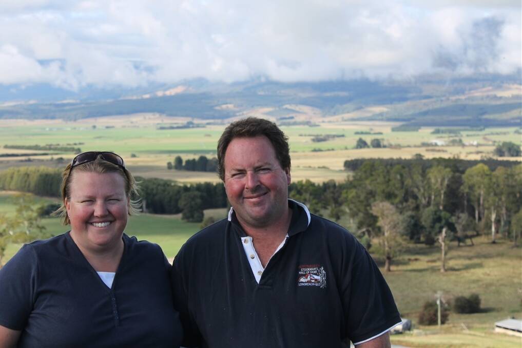
Dr Miron said the extensive soil testing done at Mark and Nikki Atkins' dairy farm near Dairy Plains meant a correlation between the images and nutrient levels was possible.
The Atkins core-sampled every paddock on their 240-hectare farm last year and sent the results to Dr Miron, who will combine satellite images from Landsat 7 - operated by the United States Geological Survey - with climate and elevation data.
Dr Miron explained one pixel from a Landsat 7 image equated to an area measuring 30 by 30 metres which, when classified against the nutrient results of a paddock, could provide a clearer image of what nutrients were present.
Soil test results from the Atkins' farm will be used to give Dr Miron and his team - which includes Mitchell Welch and Dr John Stanley - an understanding of what a pixel with low nitrogen levels, for example, looks like.
Images from the satellite have been collected and Dr Miron is collating nutrient and climatic data with the aim of running it through a classification at the end of May.
"It's purely in the research phase but if we have something there we will expand the process," Dr Miron said.
He added he was "pretty confident" of a correlation.
Soil testing, done on average every three years, could vary in cost depending on farm size, according to Serve-Ag agronomist James Burbury, who said an average of $200 per paddock was common.
Dr Miron said the idea originated in September last year at a Dairy Australia working group in Melbourne, where some delegates estimated soil nutrient mapping could cost $30,000.
"I thought maybe there's a better way of doing things," said Dr Miron, who has a background in computational science.
A desktop application would enable farmers to bring up nutritional maps of their farm to spread fertilisers efficiently, he said.
The Tasmanian Institute of Agriculture (TIA) supported a soil nutrient mapping system for 89 farms across Tasmania in 2005-06.
About 4000 paddocks were tested and the results were collated through a computer-based geographic information system (GIS).
Dr Miron said the project would use a GIS system to extract information, but the fundamental difference between the two soil mapping plans was the use of satellite images.
Mrs Atkins, whose soil tests last year were subsidised by DairyTas and TIA, said the testing would have cost about $3000.
She said having a computer application to assess nutrient levels on their farm would save time and money.
"We had a bloke (doing some soil testing) on a ute hopping from paddock to paddock and it took him all day," she said.
"To be able to use technology in this way would open so many doors."

